Connecting geospatial companies with the right professionals - faster
GeoSearch is a specialized geospatial recruiting firm. For 38 years we've helped companies in GIS, surveying, remote sensing, LiDAR, and photogrammetry hire strategically and build stronger teams.

Who we are
We are geospatial recruiting specialists, not generalists.
For nearly four decades we've built relationships across surveying, GIS, photogrammetry, LiDAR, remote sensing, and mapping — the kind of relationships that give clients faster access to qualified people. We're woman-owned, active in the industry we serve, and you'll find us at GeoWeek and other events where this field gathers. We're part of the community, not just a vendor to it.
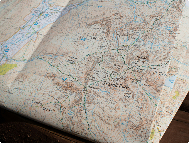
For Employers
Finding niche geospatial talent through generalist channels is slow and frustrating.
Job boards surface the wrong people. Recruiters who don't understand the field waste your time. GeoSearch is different. We know these roles, we've filled them before, and we can introduce you to qualified professionals other recruiters can't reach.

For Candidates
Find your next role in geospatial.
Whether you're just starting out or moving into a senior position, we work with professionals at every stage. Browse current openings, get matched by a recruiter who knows your field, and if you're early in your career, download our free job seeker guide.
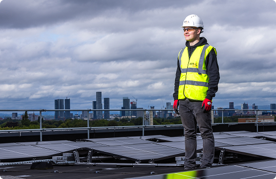
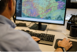
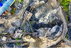
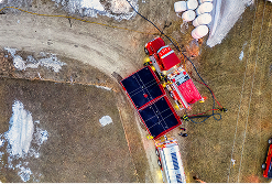
Geospatial work runs through more sectors than people expect.



They take time to understand who you are and what you need, and they communicate consistently and clearly. They know the market well and it shows!

Angela Wertman
Director of Operations, Blue Raster
GeoSearch is the premier geospatial recruiting firm for the industry. Their deep understanding and knowledge of the various professions/tools/technologies has resulted in GeoSearch being the industry leader for recruiting.

Renee Walmsley
Vice President, TetraTech
GeoSearch, Inc. is the LEADING specialized, nationally recognized recruiting firm focused exclusively on the geospatial sciences, mapping technologies and advanced analytics. They connect highly skilled professionals with employers in government, engineering, and private technology.

Dr. Shawana P. Johnson
GISP — CEO
One of the best ways to retain talent, is to find the right talent. GeoSearch helps you figure out what your talent gap is and can handle the end-to-end process of sourcing and screening.

Carl Schoenthal
Head of Quality & Compliance
If you want maximum options for employment or you're searching for that hard-to-find technician, stop wasting your time and call Jessica.

Kelly Francis
Co-President
GeoSearch consistently delivers qualified, vetted GIS professionals for even the most niche and difficult-to-fill roles. What stands out most is the team's commitment to understanding our business and culture, not just the job requirements.

Denise
HR Manager
Within hours of sending my resume, I had a response, and just days later, GeoSearch was jumping on a call with me to align my skills with the role. They fast-tracked my resume, and within a few weeks, I had an offer in hand.

Milady Meadows
GIS Project Manager
My experience with the GeoSearch team was excellent. I particularly appreciated the speed of the process and the clarity of communication provided.

Arman Rezaee
Data Scientist - Senior Geospatial Engineer
Once I submitted my resume and application, she called me back the same day! After my resume was forwarded to the hiring manager, I was hired and working by the end of the month.

Sofia Delgado-Alcala
Technical Support Engineer
I am thrilled to share some wonderful news with you! I am formally signing the offer letter for the position offered by Arini. I would like to thank you for your guidance and support in my engagement with them. I greatly appreciate the time you spent to give me feedback on the resume and for seeing a fit between me and the company.

Sayali Lokare
GIS Specialist
Jessica did a great job at breaking down all responsibilities and duties to ensure I would be a good fit for the position. The actual interview was a breeze and I received a fantastic offer which I'm excited to say I accepted.

James Wiggins
Survey CAD Technician
She is a top-tier human and her knowledge, expertise and relationships in the Geospatial Community are remarkable.

Bret Gardener
Enterprise Sales Director
What really landed me in the right position — with the right employer — was them knowing their business clients and getting to know ME well enough to find truly good fits for both parties.
The recruiting process was professional, straightforward, and well organized. What I appreciated most was that the process felt fair and transparent — there was no unnecessary pressure or rushing.

Samir Hamedi
LiDAR Analyst
Latest Insights in Geospatial Trends


Job Search
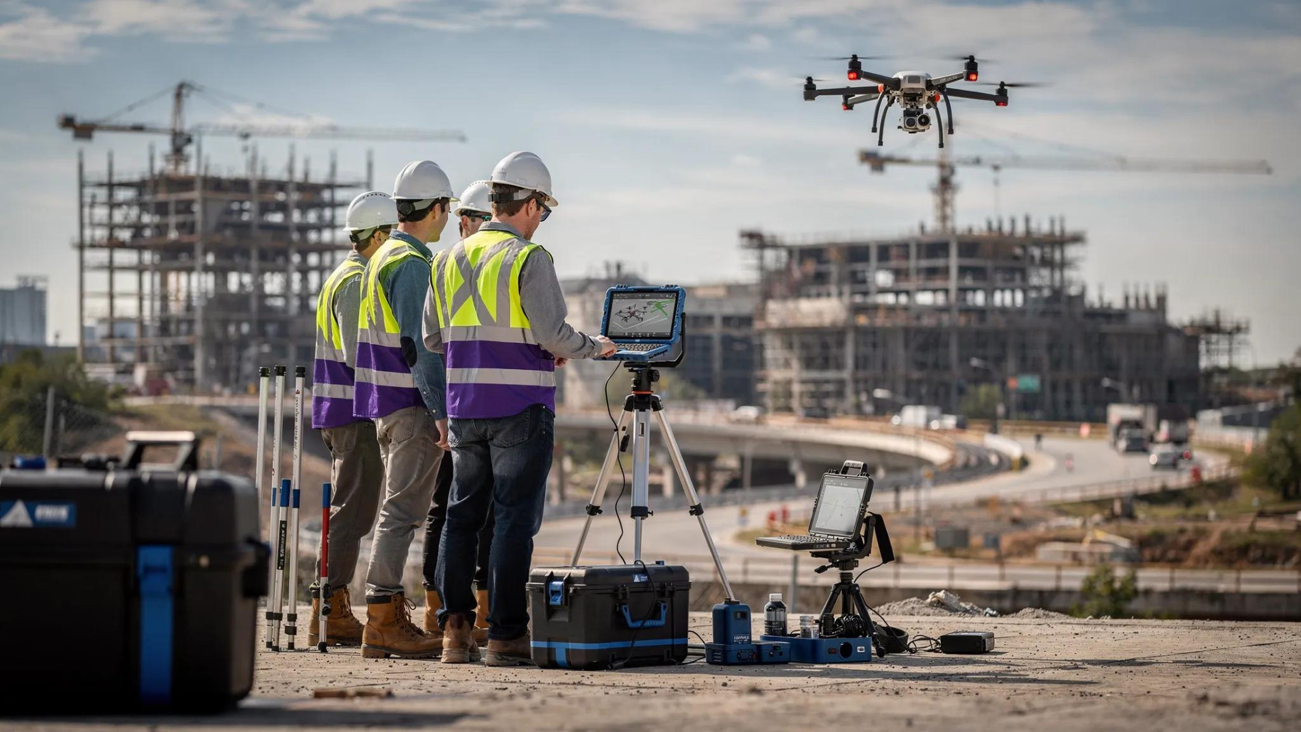
How to read a geospatial job posting

Market Trends
The Real Salary Range for GIS Developers in 2026